Bukit Timah Nature Reserve: hike guide and honest review
Is the Bukit Timah hike worth it?
Yes — Bukit Timah is the best rainforest walk in Singapore. It is the only place in the city-state where you walk through primary rainforest with genuine canopy cover, and the hill (163 m) is Singapore's highest point. The main summit trail takes about 45 minutes up, 30 minutes down. Wildlife including Long-tailed Macaques, Monitor Lizards, and Sunda Colugos is reliably seen. Free entry, open daily.
| Where | Hindhede Drive, western Singapore |
| Cost | Free |
| Time needed | 1–1.5 hrs summit trail; half-day for MacRitchie link |
| Getting there | MRT Downtown Line to Hillview, 10 min walk |
| Best time | 7:00–9:30 am |
At 163 metres, Bukit Timah Hill is Singapore’s highest point. That sounds unimpressive until you register that the summit sits inside one of the smallest patches of primary rainforest in the world to survive within a city — 163 hectares of old-growth forest that has been continuously protected since 1883, predating the modern city-state by nearly a century.
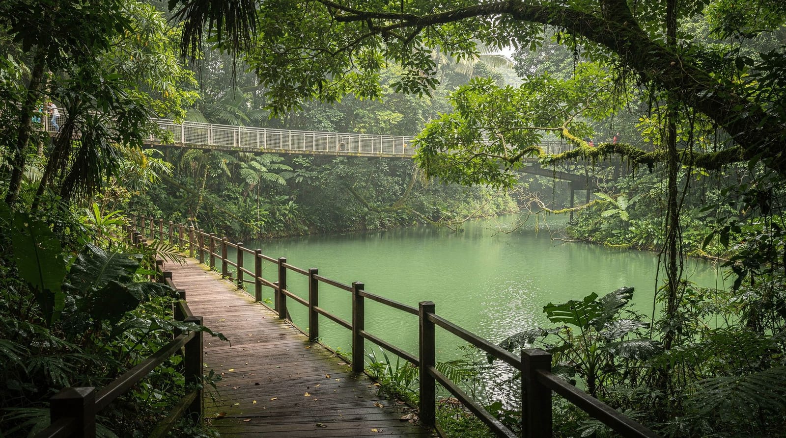
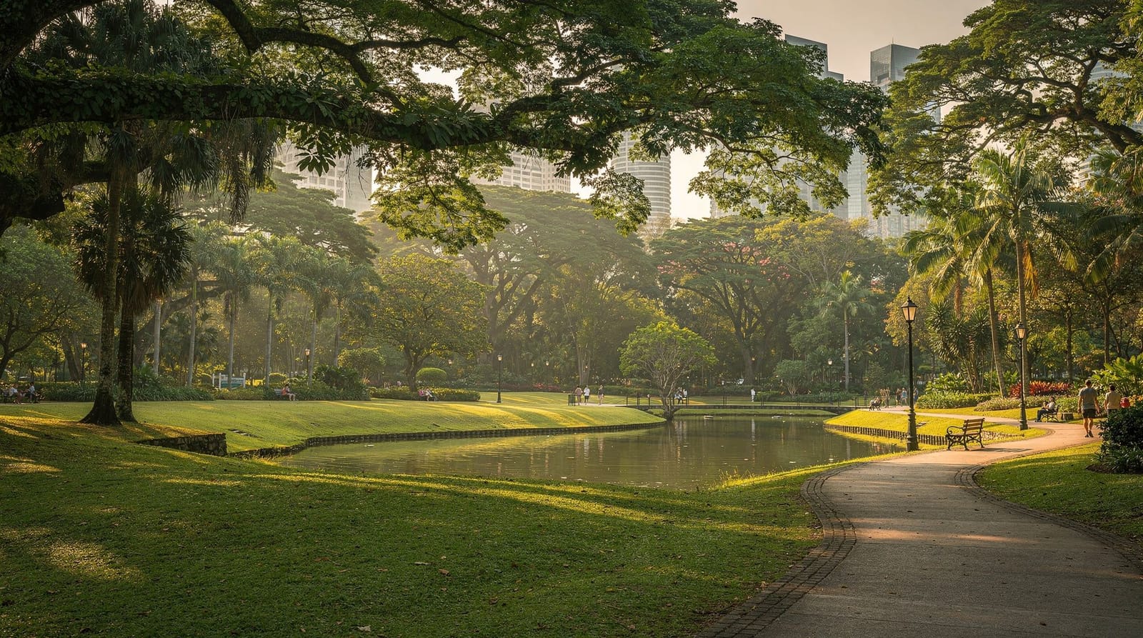
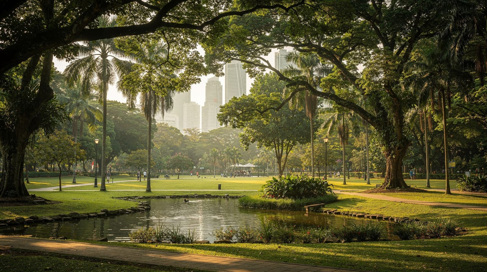
The forest at Bukit Timah is genuinely old. The trees are primary rainforest species, not the planted park trees you find across the rest of Singapore. The canopy is high and real. The biodiversity — over 840 species of flowering plant, 500 species of fungi, 120 species of birds — rivals much larger forest reserves in Malaysia and Indonesia. Entering the reserve, even briefly, genuinely feels different from any other park in Singapore.
What makes Bukit Timah different
Singapore’s other nature areas — the Botanic Gardens, Jurong Lake Gardens, even parts of MacRitchie — are managed landscape. Bukit Timah is a remnant. The forest survived because it was protected as a water catchment reserve in the colonial period, and has been protected since. The trees are 100–200+ years old in the older sections. The canopy is intact enough to support a functional ecosystem.
The practical implication for visitors: you are not walking through a designed garden. The trails are in real forest. The animals you see are genuinely wild. The smell, sound, and feel of the air under the canopy is different from any managed green space — the humidity is higher, the light is dappled and shifting, and there is a background sound of insects that is absent from Singapore’s other parks.
The trails
Summit Trail (main trail): The primary route from the Visitor Centre (180 m above sea level at the car park — the official summit is the 163 m high point, accessible via the paved main track). The climb takes 30–45 minutes on a continuous uphill track — paved in the upper sections, with a compacted earth and step section lower down. At the summit, a small observation area with some views (obstructed by trees in most directions — this is not a panoramic viewpoint). The satisfaction is in the forest quality, not the view. Descend in 25–30 minutes.
Jungle Fall Trail and North View Trail: Secondary trails branching from the main track, with exposed roots, steeper sections, and more isolated atmosphere. The Jungle Fall Trail passes a small waterfall (intermittent in the dry months). These trails are more rugged and less suitable for casual visitors unfamiliar with forest hiking.
Rock Trail: A shorter secondary route through more open sections with geological interest (Singapore’s rock outcrops). Less shaded than the main trail.
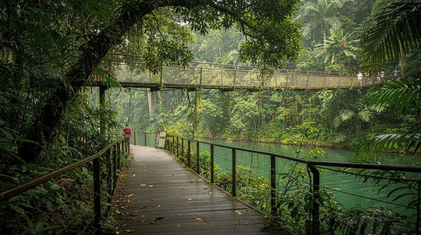
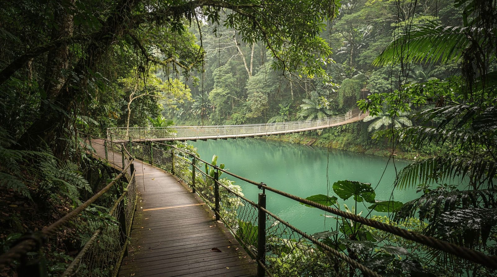
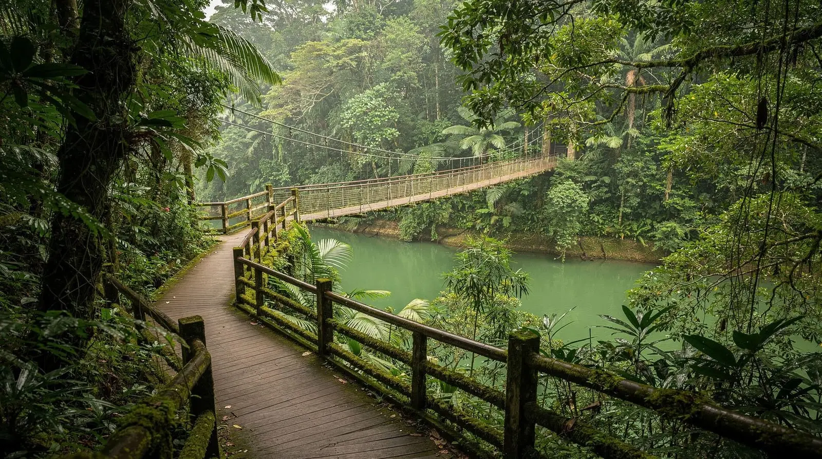
Catchment Nature Reserve connections: Bukit Timah connects to the Central Catchment Nature Reserve trails that run east toward MacRitchie Reservoir. Walking the Bt Timah-MacRitchie Eco-Link over the BKE expressway is one of Singapore’s more unusual nature experiences — a wildlife bridge that allows animals (and hikers) to cross from one forest fragment to the other. The MacRitchie Treetop Walk guide covers the eastern section of this connected trail system.
Wildlife encounters
Long-tailed Macaques: The most visible wildlife, present throughout. Important behavioural notes: do not make direct eye contact (interpreted as aggression), do not feed under any circumstances, do not carry open food near the main trail entrance. The macaques near the visitor centre and car park are bold and experienced at stealing food from bags. Keep bags closed and zipped. Macaque bites occasionally occur when visitors feed or provoke them — these are not zoo animals.
Sunda Colugo (Malayan Flying Lemur): One of the most distinctive mammals in Southeast Asia and almost unknown outside specialist wildlife circles. The Colugo is not a lemur and cannot truly fly — it glides on membranes stretching from its neck to its extended limbs. They spend most of the day motionless, clinging to tree trunks, camouflaged as bark. Once you know what you are looking for, they are reliably sighted in Bukit Timah — look for a motionless blob of grey-brown texture on vertical tree trunks at 2–5 metres height. Active at dusk, when they glide between trees.
Sunda Flying Squirrels: Similar habitat and timing to Colugos. Also seen in late afternoon at the forest edge.
Butterflies: Over 140 species recorded. The forest edge near the visitor centre is the best daytime butterfly-watching spot.
Rare sightings: The Bukit Timah/MacRitchie corridor is the last remaining habitat in Singapore for Sambar Deer (rarely sighted), Wild Boar (present), and occasional Malayan Pangolin (extremely rare, mostly nocturnal). None of these can be counted on — treat them as possibilities, not expectations.
The timed entry system
On weekends and public holidays, NParks operates a free timed entry slot system to manage crowd levels. Slots must be booked in advance via the NParks website (no charge). During peak periods (weekend mornings), all slots typically fill 1–2 weeks ahead. Weekday visits do not require pre-booking.
For weekend visits: book online as early as possible, ideally the moment booking opens (check the NParks website for the booking window timeline). The 07h00–08h00 slot is the best available and fills first.
What to bring
Water: 1.5–2 litres for the full trail experience. The visitor centre has a water vending machine at the entrance, but nothing on the trails. The heat in the forest is high despite the canopy.
Insect repellent: Mosquitoes are present but not overwhelming compared to the coastal mangrove parks. Repellent is still worthwhile.
Shoes: Trail runners or light hiking shoes with ankle support are ideal. Wet-weather days make the earth sections slippery — rubber soles without grip will cause problems. Sandals are workable in dry conditions on the main Summit Trail but poor on the secondary trails.
Sun protection: Less critical inside the forest (canopy blocks direct sun) but essential for the walk from the MRT to the reserve entrance on Hindhede Drive, and for the summit clearing.
Getting to Bukit Timah
MRT Downtown Line to Hillview (DT3): Most reliable. 10-minute walk via Hindhede Drive to the visitor centre entrance.
Bus: Services 67, 171 stop on Bukit Timah Road. Walk up Hindhede Drive (approximately 500m) to the reserve.
Grab: SGD 12–20 from Orchard or Botanic Gardens area. Drop-off directly at the visitor centre car park.
The getting around Singapore guide covers the MRT Downtown Line and payment options.
Connecting to other nature areas
Bukit Timah sits at the western end of the Central Catchment Nature Reserve. The ecological corridor connecting it to MacRitchie Reservoir via the Eco-Link flyover is one of Singapore’s conservation achievements — allowing wildlife movement between the two forest fragments. Walking the entire corridor in one direction (Bukit Timah to MacRitchie) takes a full morning and is more satisfying than either reserve alone.
The Southern Ridges guide covers the connected ridge trail system to the south, including Henderson Waves bridge.
For a full Singapore nature day, combine Bukit Timah in the morning with Jurong Lake Gardens for a western circuit, or use the Botanic Gardens as a milder afternoon complement to the Bukit Timah climb.
Bukit Timah vs Singapore’s other green spaces
| Bukit Timah | MacRitchie | Botanic Gardens | |
|---|---|---|---|
| Forest type | Primary rainforest | Secondary forest, reservoir | Cultivated garden |
| Difficulty | Moderate, steep summit climb | Easy–moderate, flat loops | Easy, flat |
| Wildlife | Best in Singapore — colugos, macaques | Good — monitor lizards, macaques | Birds, garden fauna |
| Time needed | 1–1.5 hrs | 2–4 hrs | 1.5–3 hrs |
If you only have time for one nature reserve, Bukit Timah gives the most genuinely wild experience in the shortest time. See macritchie-treetop-walk for the flatter, longer alternative, and botanic-gardens-guide for a gentler, cultivated counterpoint.
Photography at Bukit Timah
The dense canopy makes for challenging but rewarding photography — dappled light, deep green tones, and genuinely wild subjects rather than manicured park scenery. Early morning (before 9 am) gives the best light filtering through the canopy and the most active wildlife; the Sunda Colugo sightings on tree trunks are best photographed with a zoom lens rather than approaching closely, since flash and proximity stress the animals. For a broader sense of Singapore’s best photo locations and timing, see the best photo spots guide.
Practical details
Opening hours: 07h00–19h00 daily (last entry 18h30) Entry fee: Free Timed entry slots: Required on weekends and public holidays (free, via NParks website) Visitor centre: Opened 2021, with displays on the reserve ecology, fossil records, and biodiversity Toilets: At the visitor centre; limited facilities on the trails Food: No F&B on site. The Bukit Timah Food Centre on Cheong Chin Nam Road (5 minutes by Grab) is excellent for a post-hike breakfast.
Frequently asked questions about the Bukit Timah hike
Is Bukit Timah Nature Reserve the highest point in Singapore?
Yes. At 163 metres, Bukit Timah Hill is the highest natural point in Singapore. The summit is accessible via the main trail.
Can children do the Bukit Timah hike?
Yes, with appropriate preparation. Children who can walk for 45–60 minutes continuously can manage the Summit Trail. The main considerations are heat (start early), water (bring more than you think you need), and the macaques (keep food concealed). There is no play equipment — the interest is the forest and animals.
Do I need to worry about snakes at Bukit Timah?
Snakes are present including Reticulated Python (non-venomous, large), various pit vipers (venomous), and rat snakes. Snake encounters are uncommon and snakes almost always retreat from human approach. Wear covered shoes and watch where you step on the secondary trails. If you see a snake, do not approach or attempt to handle it. Keep to the marked paths.
How does Bukit Timah compare to hiking in Malaysia or Indonesia?
No honest comparison can be made — Bukit Timah is a 163-hectare urban forest, while Taman Negara or Indonesian national parks are thousands of hectares of continuous rainforest. Bukit Timah offers a genuine primary forest experience in extraordinary miniature, but it is not comparable to a wilderness hike. For Singapore, it is outstanding; in the regional context, it is a very good introduction.
Is there a fee for the Eco-Link wildlife crossing?
No. The Eco-Link at BKE (the wildlife bridge over Bukit Timah Expressway) is open to pedestrians. It connects to the Catchment Area trail system leading toward MacRitchie Reservoir. The crossing itself is a 200-metre vegetated bridge above a highway — an unusual sensation.
What happens if it rains during the hike?
The forest canopy provides significant protection from light rain. Heavy rain makes the earth trails slippery and unpleasant. Check the weather forecast. If caught in a sudden thunderstorm (common in the inter-monsoon period), return to the visitor centre immediately — lightning on an exposed hilltop is the main risk.